Theme hikes
Excitement, adventure and perhaps learning one or two things at the same time? This can be found on the theme trails around Engelberg. Go on a treasure hunt on Brunni or Trübsee or enjoy nature under your feet on the barefoot trail.
Schmugglis Sbrinz Path

Engelberg-Titlis Tourismus Verified partner
Schmugglis Adventure World at Trübsee, very popular with families, has gained a new attraction. On the mountain hiking trail from the Hüethütte to the Alp cheese dairy Untertrübsee, a new puzzle trail is being created – Schmugglis Sbrinz Path. On the 1.5-hour hike, visitors become cheese smugglers themselves and must secretly bring their cheese wheel on the right path at various skill, play, and rest stations – without getting caught. Only those who are clever enough and have successfully completed a game station receive a letter and can continue with their smuggled goods. At the very end of the route, all letters together form a solution word that visitors must find out.
To solve the puzzles at the six stations, you need a wooden token. You can buy this for CHF 5 at the ticket office at the Titlis valley station or at the self-service restaurant of the Berghotel Trübsee. You may then take it home as a souvenir.
Author’s recommendation
Engelberg-Titlis Tourismus Verified partner
Derived from the technical difficulty and the stamina requirements.
Track types
Rest stops
Berghotel TrübseeSafety information
- The playground is open during the operating hours of the Titlis cable cars (current information at open facilities).
- Use of the playground at your own risk. Parents are obligated to always supervise their children and are responsible for them.
- No helmets or objects around the neck should be worn.
- Special attention is required when playing near water.
- Please report any defects immediately to the staff of the Titlis cable cars.
In case of emergency, call SOS Titlis cable cars
+41 (0)41 639 50 61 or 144
Tips and suggestions
Further information about the Schmuggli Sbrinz Path can be found at the following link: www.titlis.ch/sbrinz
Recommended Age:
6 - 14 years
Strollers:
Schmugglis Sbrinz Path is on a mountain hiking trail and is not suitable for strollers.
Barbecue Areas:
There are no barbecue areas on Schmugglis Sbrinz Path. However, at the «Customs Officers’ Shelter» station, there are seating areas for a picnic.
Toilets:
An environmentally friendly compost toilet is located at the Älplerseil mountain station.
Costs:
To solve the puzzles at the six stations, you need a wooden token. The wooden token costs CHF 5. Additionally, you need a train ticket Engelberg-Trübsee. Children with a junior card travel free of charge on the train when accompanied by a parent.
Shortcut:
If you do not want to walk the entire way, you can take the Älplerseil cable car up to Untertrübsee. There, at the signpost with the milk can, you get the correct symbols from stations 4 and 5. Then follow the signpost to station 6.
Public transport
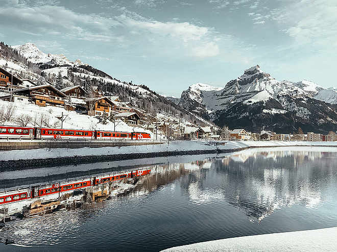
National and international connections (from Zurich Airport connections every half hour with about 1 hour travel time) to Lucerne. Then take the Zentralbahn in 43 minutes through a varied landscape and gorges up to Engelberg.Directions
By car, drive on the A2 (Basel-Gotthard) to Stans Süd, then 20 km on the main road to Engelberg. Engelberg is 30 minutes from Lucerne, 1 hour and 15 minutes from Basel, Zurich, or Bern.Parking
Parking spaces are available in Engelberg for a fee: More informationCoordinates
Localization
Derived from the technical difficulty and the stamina requirements.


