CROSS-COUNTRY SKIING TRACKS

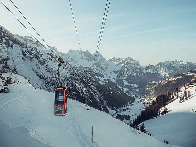
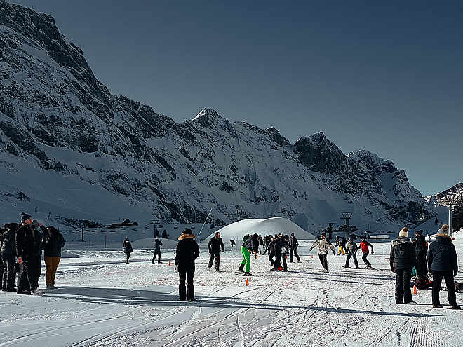
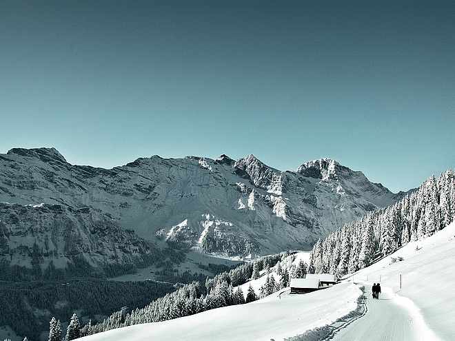
Well-prepared cross-country trails are at your disposal in Engelberg. If you tackle the tracks in the valley, you start and finish at the Sporting Park, where there are also cloakrooms with showers and a restaurant. As an option you can also park at the Brunni lifts and get into the valley tracks perfectly. You can reach the cross-country skiing area on Gerschnialp via the funicular and it is best to use the TITLIS Xpress car park.

Cross-Country Skiingrecommended route

Golf trail

Cross-Country Skiing · Engelberg
LogoEngelberg-Titlis Tourismus
Responsible for this content
Engelberg-Titlis Tourismus Verified partner 
  • Photo: Engelberg - Titlis Tourismus, Engelberg-Titlis Tourismus

Selected alternatives for you
    The golf route offers a varied terrain over approximately 4.3 kilometers.
    Skating, Classic
    moderate
    Distance 4.3 km
    0:35 h
    76 m
    23 m
    1,096 m
    1,040 m
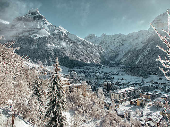
    The golf trail with start and finish at the golf clubhouse runs over the Engelberg golf course and leads over varied terrain with shorter and longer ascents and descents to the valley station of the Fürenalpbahn and back. The idyllic landscape surrounded by Titlis and Spannörter offers a magnificent backdrop.

    Author’s recommendation

    Combine the golf trail with the valley trail and start your cross-country skiing fun right in the village.
    Profile picture of Engelberg - Titlis Tourismus
    Author
    Engelberg - Titlis Tourismus 
    LogoEngelberg-Titlis Tourismus
    Responsible for this content
    Engelberg-Titlis Tourismus  Verified partner 
    Difficulty
    moderate
    Overall difficulty
    moderate

    Derived from the technical difficulty and the stamina requirements.

    Experience
    Landscape
    Highest point
    1,096 m
    Lowest point
    1,040 m
    Best time of year
    Jan
    Feb
    Mar
    Apr
    May
    Jun
    Jul
    Aug
    Sep
    Oct
    Nov
    Dec

    Track types

    Show elevation profile

    Tips and suggestions

    Trail pass

    Nordic Center

    Snow sports report

    Catering: Restaurant Eienwäldli and Nordic Center

    Public transport

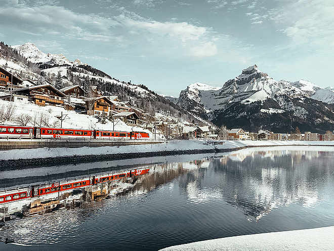
    National and international connections (from Zurich Airport connections every half hour with about 1 hour travel time) to Lucerne. Then by Zentralbahn in 43 minutes through diverse landscapes and gorges up to Engelberg.

    Directions

    By car, take the A2 (Basel-Gotthard) to Stans South, then on the main road 20 km to Engelberg. Engelberg is 30 minutes from Lucerne, 1 hour and 15 minutes from Basel, Zurich, or Bern.

    Parking

    Parking spaces are available in Engelberg for a fee.

    Coordinates

    SwissGrid
    2'676'030E 1'184'510N
    DD
    46.807412, 8.434742
    DMS
    46°48'26.7"N 8°26'05.1"E
    UTM
    32T 456871 5183918
    w3w 
    ///pricier.referral.ordeals
    Get there by train, car, bike, or on foot!

    Equipment

    Cross-country skiing equipment can be rented at the sports shops in Engelberg.


    Localization

    Parts of this content were machine translated using German as the source language

    Similar routes nearby

    • Sonnenloipe
    • Herrenrüti
    • Ski jump track / night track
    • Valley trail
    • Kloster Erlen track / night track
     These suggestions were generated by our system
    Cross-country skiing technique
    Skating, Classic
    Difficulty
    moderate
    Overall difficulty
    moderate

    Derived from the technical difficulty and the stamina requirements.

    Distance
    4.3 km
    Duration
    0:35 h
    Ascent
    76 m
    Descent
    23 m
    Highest point
    1,096 m
    Lowest point
    1,040 m
    Classic Skating Round trip Refreshment stops available

    Weather at the starting point

    10-day forecast

    Statistics

    • Content
    • Show images Hide images
    Features
    Maps and trails
    Nothing selected - click and drag in the elevation profile to zoom
    Distance
    Duration
    Ascent
    Descent
    Elevation profile