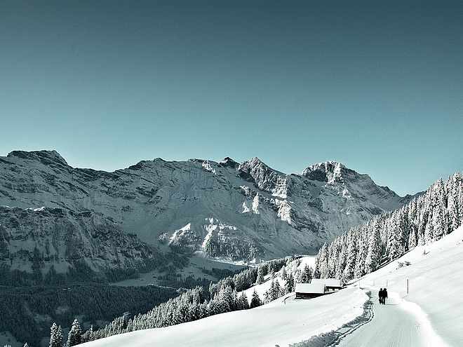
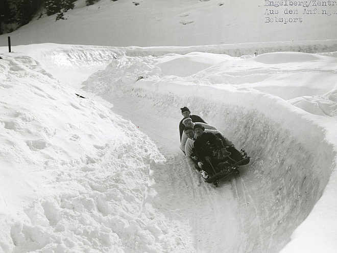
Sledding runs
Home
Activities
Winter
Sledding
sled runs
Sledding runs
Try out our four different sled runs with a combined length of nine kilometres.
Fürenalp Toboggan Run
Rinderbüel sledging run
Sledding run Gerschnialp-Engelberg
Sledge run Zigerboden
Open Trails
Weather
Webcams
Brochures
Sustainability
Vouchers for Engelberg
Activities
& attractions
Accommodation
& Restaurants
Cable Cars
& Prices
News
& Events
Meeting
& Incentive
Arrival
& Service
Blog
Winter
Hiking & Snowshoe Tours
Ski Tours & Freeride
Ski & Snowboard
Cross-Country Skiing
Sledding
Families
All Winter activities
Ski Tours & Freeride
The Big 5
The High 5
All year around
TITLIS Highlights
Culture & Traditions
Wellbeing
Sportingpark
Benedictine Monastery
Paraglide
Cinema
Horse-drawn carriage rides
Bad weather program
Lake Lucerne Region
All year activities
Bookable experiences
Group Experiences
Guest Card
Acitivity offers with Guest Card
Further advantages with Guest Card
Hiking highlights
Ridge hike Stanserhorn-Engelberg
Alpine cheese trail
Buiräbähnli Safari
4-Lakes Trail
Walenpfad trail
Summer
Biking
Hiking
Via ferrata / climbing
Golf
Trailrunning
Water sports
Families
Recharge batteries
Little Patagonia
Holiday Tips
More Summer activities
Hotels
Gastronomy
Apartments
Packages & Deals
All lodging
Jurtenberg
Group Accommodation
Camping
Youth Hostel "Berghaus"
Apartments on request
Mountain Lodges
Private Rooms
Bed & Breakfast
Titlis
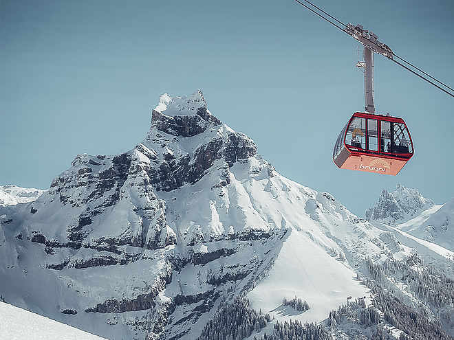
Brunni
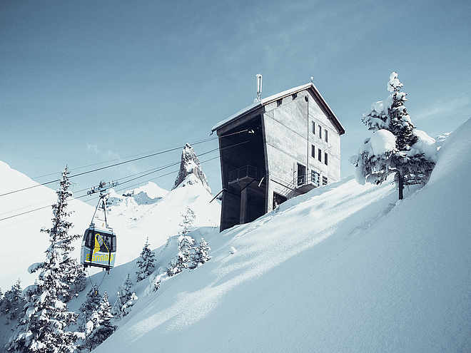
Fürenalp
Bannalp
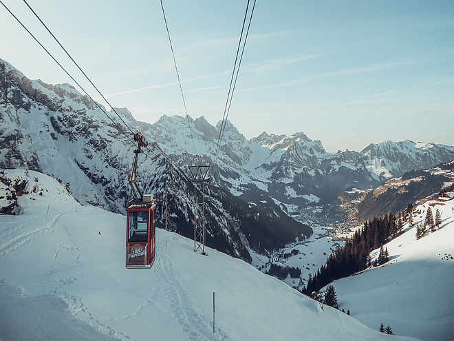
Cable Cars
Titlis
Brunni
Fürenalp
Bannalp
"Buiräbähnli" Cable ways
Prices & Tickets
Prices Winter
Prices Summer
Webshop Destinations Abos
Buy Skitickets
Webshop Titlis Tickets
Webshop Brunni-Tickets
Further passes/tickets
Events
Culinary Events
Exhibitions
Online bookable experiences
Kids Festival
Events
Kids Festival
Cinema Engelberg
Your Event
Seminar Hotels
All from one source
Special Locations
MICE Request
Social Program
References
Teambuilding
Tourist Info
Sustainability
Location & Arrival
Free Bus
Prospects
Vouchers for Engelberg
Village & Infrastructure
Press & Media
MEDICAL EMERGENCY
Engelberger Blog
Summer Treats Magazine
Engelberg magazine