Take a bike tour without breaking a sweat? E-bikes make this possible and promise pure driving pleasure. Explore the beautiful mountains around the monastery village on our e-bike routes.
The Brunnistöckli via ferrata over Engelberg/Titlis

Engelberg-Titlis Tourismus Verified partner
-
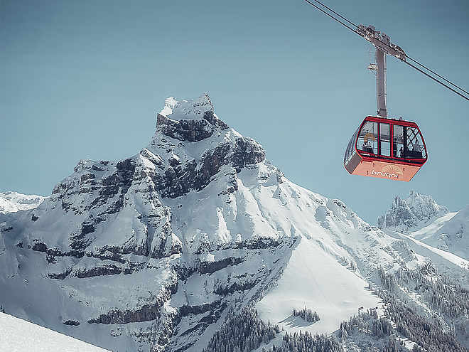
 BrunnistöckliPhoto: Engelberg - Titlis Tourismus, Engelberg-Titlis Tourismus
Engelberg-Titlis Tourismus Verified partner
Derived from the technical difficulty and the stamina requirements.
Track types
Safety information
The via ferrata is suitable for beginners, surefootedness and a head for heights are prerequisites. It is recommended to check the current weather forecast for the destination area.Tips and suggestions
Restaurant stop:
Brunni:
Roadbook
Approach:
From the mountain station of the chairlift next to the Brunnihütte, we follow the marked mountain hiking trail ("Brunni" path) towards the Rugghubelhütte. After the Brunni path info board, we turn left towards the start.
Route description:
Via a ladder, we reach the first suspension bridge over the "Teufelsschlund". The ladder "Wolkentritt" leads to the Brunnistöckli. Via the "Engelsbrücke" we finally reach the "Himmelsleiter" and then the exit at Schonegg (entire route: grade A).
Descent:
From Schonegg, we follow the white-blue-white marked path back to the Brunnihütte in a few minutes.
Härzlisee barbecue spots, Brunni Engelberg
Fireplaces at Lake Härzlisee
Fireplace Rickwald
Lake Härzli
Via ferrata
Brunnistöckli
Public transport
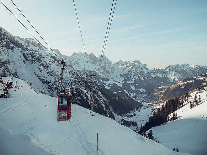
By train to Engelberg station, then by Brunni chairlift to the mountain station.Directions
On the A2 motorway to the Stans Süd exit, then continue on the cantonal road to EngelbergParking
Parking lot at the valley station in EngelbergCoordinates
Equipment
Via ferrata equipment with rockfall helmet and via ferrata gloves.Localization
Derived from the technical difficulty and the stamina requirements.