Take a bike tour without breaking a sweat? E-bikes make this possible and promise pure driving pleasure. Explore the beautiful mountains around the monastery village on our e-bike routes.
Flühmatt Trail

Responsible for this content
Engelberg-Titlis Tourismus Verified partner
Engelberg-Titlis Tourismus Verified partner
-
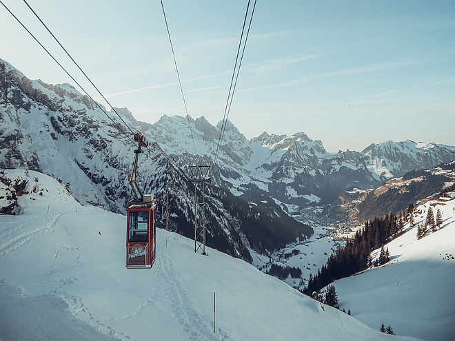
 Photo: Engelberg - Titlis Tourismus, Engelberg-Titlis Tourismus
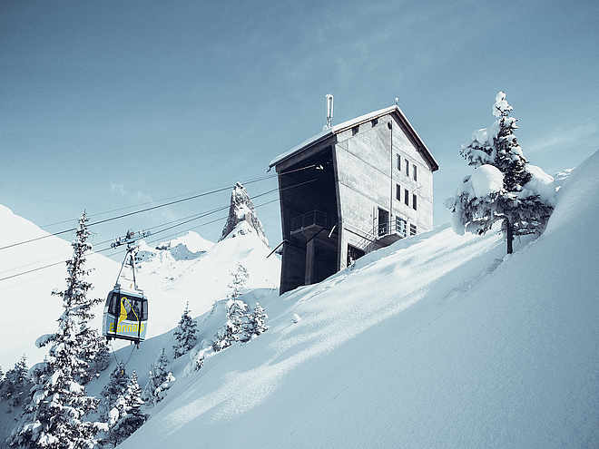
Selected alternatives for you
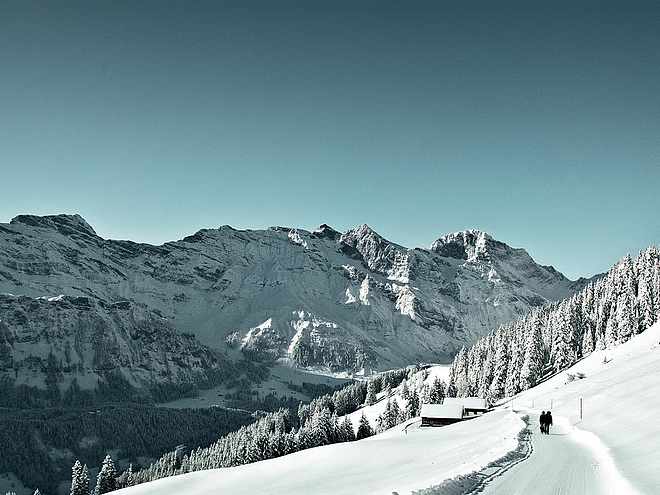
Sunny excursion with view over the village.
easy
Distance 5.3 km
1:19 h
448 m
448 m
1,416 m
1,004 m
After the monastery, past the cemetery, we cross the Ochsenmatt up to the boat to the Flühmatt, from where a wonderful view and the world's best Älplermagronen are waiting for us. Rockier downhill run into the valley.
Author’s recommendation
The monastery and the "Älplermagronen" in the restaurant Flühmatt.
Author
Engelberg - Titlis Tourismus
Responsible for this content
Engelberg-Titlis Tourismus Verified partner
Engelberg-Titlis Tourismus Verified partner
Difficulty
easy
Overall difficulty
easy
Derived from the technical difficulty and the stamina requirements.
Experience
Landscape
Highest point
1,416 m
Lowest point
1,004 m
Best time of year
Jan
Feb
Mar
Apr
May
Jun
Jul
Aug
Sep
Oct
Nov
Dec
Track types
Asphalt
671 m
Forested/wild trail
199 m
Path
4 km
Road
410 m
Tips and suggestions
Restaurant Flühmatt: https://brunni.ch/26/en/restaurant-fluhmatt
Roadbook
Gmeinegg, Oberes Bord, Flühmatt, Zelgli, Engelberg
Rest stop
Nearby
Top Partner
Waypoint
Start point
End point
Low point
High point
Forecast
Today {low} to {high} and {precipitation} of {precipitation_type}
show {x} more
Photo
Video
Engelberg, DorfBenedictine monastery Engelberg
Engelberg Monastery show dairy
Engelberg Monastery
Engelberg: Kloster
INTERSPORT Titlis - your ski rental in Engelberg
Engelberg-Titlis Tourismus AG
Prime Mountain Sports Engelberg
Coordinates
SwissGrid
2'673'816E 1'186'032N
DD
46.821352, 8.405980
DMS
46°49'16.9"N 8°24'21.5"E
UTM
32T 454689 5185483
w3w
///teardrop.lasts.isolated
Get there by train, car, bike, or on foot!
Difficulty
easy
Overall difficulty
easy
Derived from the technical difficulty and the stamina requirements.
Distance
5.3 km
Duration
1:19 h
Ascent
448 m
Descent
448 m
Highest point
1,416 m
Lowest point
1,004 m
Weather at the starting point
Statistics
Maps and trails
Nothing selected - click and drag in the elevation profile to zoom
Distance
Duration
Ascent
Descent