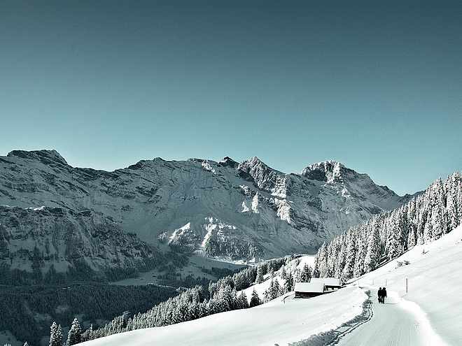
Take a bike tour without breaking a sweat? E-bikes make this possible and promise pure driving pleasure. Explore the beautiful mountains around the monastery village on our e-bike routes.
Via ferratas on the Rigidalstock near Engelberg Titlis

Engelberg-Titlis Tourismus Verified partner
-
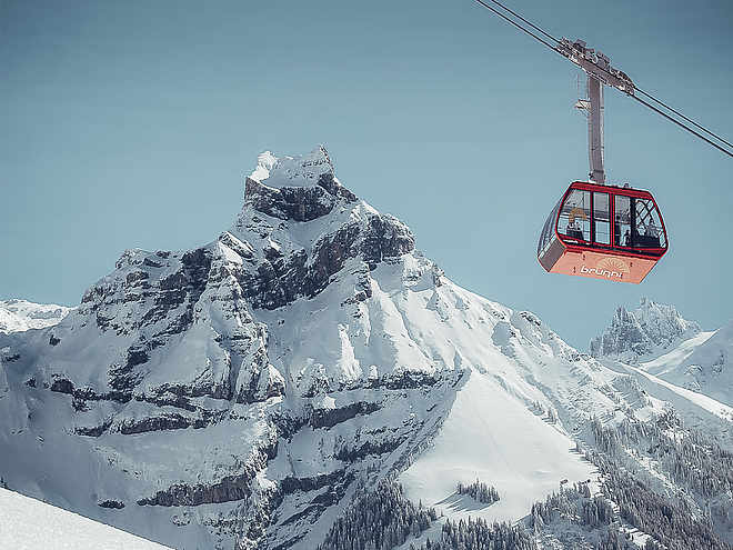
 Zittergrad_BrunnistöckliPhoto: Engelberg - Titlis Tourismus, Engelberg-Titlis Tourismus
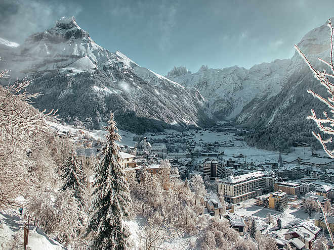
The via ferrata on the Rigidalstock (2593 m) via Engelberg/Titlis leads to a scenic summit and offers some original via ferrata sections.
The Rigidalstock via ferrata above Engelberg offers two varied routes for different demands:
Rigidalstock ridge (C/K3):
- Ideal for beginners
- Suitable for ascent and descent
- Moderate difficulty level, excellently secured.
- Can be climbed both up and down.
Rigidalstock face (D/K4):
- Demanding variant for experienced via ferrata climbers.
- Recommended only for ascent.
- Steeper, more physically demanding sections and technically challenging.
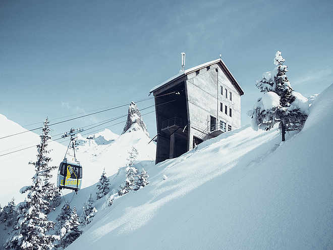
Both routes impress with panoramic views of the surrounding high mountains. A combination of both variants – ascent via the Rigidalstock face, descent via the Rigidalstock ridge – is popular. The route starts and ends at the Brunnihütte, which offers a comfortable refreshment stop directly on the way.
Note: In poor visibility, orientation can be challenging. The route can be combined with the neighboring via ferratas on the Brunnistöckli.
Engelberg-Titlis Tourismus Verified partner
Derived from the technical difficulty and the stamina requirements.
Track types
Safety information
The via ferrata is suitable for experienced via ferrata climbers, sure-footedness, a head for heights, and arm strength are required. It is recommended to check the current weather report for the destination region.
Note: In poor visibility, orientation can be challenging.
Roadbook
Ascent:
From the mountain station of the chairlift next to the Brunnihütte, we ascend via the blue-white-blue marked hiking trail (signposted "Rigidal via ferrata"). Alternatively, we can also reach Schonegg via the Brunnistöckli via ferrata or the Zittergrat via ferrata. Now we keep left on the meadow ridge and ascend over a slope ridge called "Uf den Stucklenen" (2180 m). The markings (blue-white) lead us through blocky terrain to the rugged slope below the south ridge of the Rigidalstock. There the paths diverge, we keep right and reach the entrance to the Rigidalstock face.
Route:
From the entrance, we cross a simple traverse to a gully, then ascend through slabby terrain to an overhang. With an excellent difficulty rating of D, this is the key section of the route. Then it continues easier over a slab to a small resting bench, then through a small cave up to the "Eagles' Nest." There we meet the route coming up from the Rigidalstock ridge, which we later descend. But first, a few more secured sections lie ahead to the summit. For the descent, we initially descend back to the junction. Now we descend not via the Rigidalstock face but via the ridge. To do this, we keep left on the scree ridge and climb over iron rungs on a 30 m high and quite steep slab. Cable protections then lead us down over tiered rock to the ridge and further down through a gully. At the end, it goes over a ledge to the exit.
Descent:
The marked path leads back to Schonegg and we then descend in a few minutes the steep grassy slope back to the Brunnihütte.
Härzlisee barbecue spots, Brunni Engelberg
Lake Härzli
Fireplaces at Lake Härzlisee
Brunnistöckli
Via ferrata Rigidalstockwand
Rigidalstock
Public transport
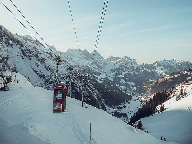
By train to Engelberg station, then by the Brunni chairlift to the mountain station.Directions
On the motorway A2 to the Stans Süd exit, then continue on the cantonal road to EngelbergParking
Parking lot at the valley station in Engelberg. Parking optionsCoordinates
Equipment
Via ferrata equipment with rockfall helmet and via ferrata gloves.Localization
Derived from the technical difficulty and the stamina requirements.