Hiking trails
Hiking with far-reaching view, breathing in fresh alpine air, giving your circulation new wellbeing, breathing in the scents of flowers, giving your senses new experiences: Over 500km of hiking trails invite to be discovered.
BUIRÄBÄHNLI SAFARI Stage 2

Engelberg-Titlis Tourismus Verified partner
The complete multi-day Buiräbähnli Safari takes 17.30 hours (pure hiking time) and promises impressive nature moments, authentic encounters, and nostalgic cable car experiences on every stage. Stage 2 leads from Wolfenschiessen via Bannalp to Alp Oberfeld.
The second stage of the Buiräbähnli Safari starts in the heart of Wolfenschiessen – more precisely at Alpina Einhorn, the official safari hotel. Even the rooms here bear the names of different little railways – a charming accommodation option related to the route.
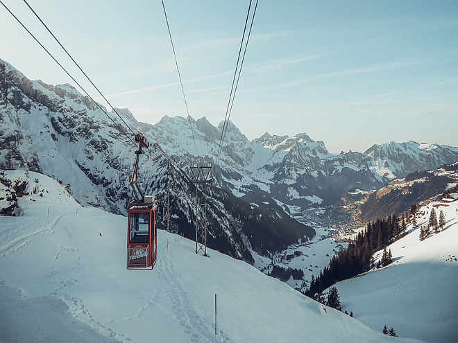
Strengthened by breakfast, you start: You walk comfortably through the village to the valley station of the Brändlen Bahn, which takes you directly up to lofty heights.
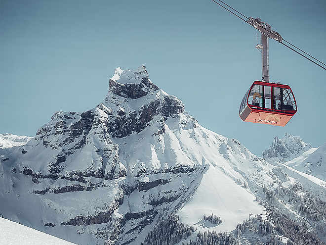
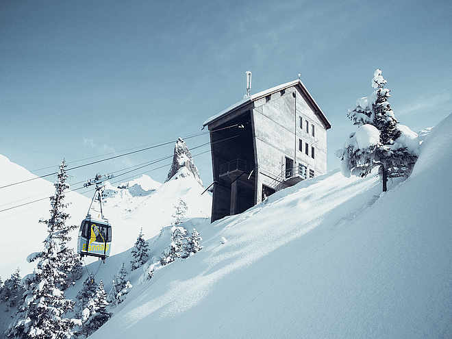
From the mountain station, a short ascent leads to Schmiedsboden, where the next Buiräbähnli awaits you – down to Oberrickenbach.
After a short walk, you reach the Fell-Bahn, which takes you in two stages up to Alp Sinsgäu. From here you hike on scenic paths to the idyllic Bannalp.
The last section of this stage runs over the first part of the Walen path – a true panoramic hiking trail – to Alp Oberfeld, today’s destination of your stage.
Those who spend the night at Alp Oberfeld immerse themselves in alpine life. The barn is directly below the room – with bell ringing, animal sounds, and an early start to the day – perfect for everyone who wants to experience authentic life on the alp.
Author’s recommendation
Those who want to perfect the nature experience spend the night in a tent directly at Alp Oberfeld – with a view of the stars, the sound of goat bells, and a sunrise you will never forget.
Alternative accommodation option: https://chruezhuette.ch/
Engelberg-Titlis Tourismus Verified partner
Derived from the technical difficulty and the stamina requirements.
Track types
Rest stops
Berggasthaus UrnestafelAlpwirtschaft Kreuzhütte
Haghütte
Tips and suggestions
Roadbook
Alpina Einhorn Wolfenschiessen - Brändlen Cable Car - Brändlen Mountain Farm - Gigi - Haldigrad - Rinderbalm - Haghütte - Chrüzhütte - Oberfeld
Wolfenschiessen, Bahnhof
Brändlen barbecue spot, Wolfenschiessen
Bannalp Dwarves Trail barbecue spot, Wolfenschiessen
Bannalp/Chrüzhütte/Seilbahn
Festung Wissiflue
Berggasthaus Urnestafel
Alpwirtschaft Kreuzhütte
Haghütte
Bannalp
Spielplatz Kirchmattli
Fell
Fellboden
Chrüzhütte
Coordinates
Localization
Derived from the technical difficulty and the stamina requirements.


