Hiking trails

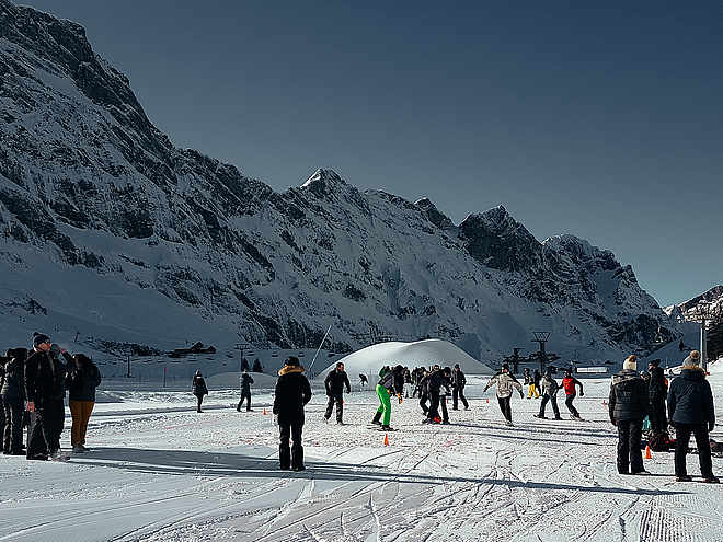
Hiking with far-reaching view, breathing in fresh alpine air, giving your circulation new wellbeing, breathing in the scents of flowers, giving your senses new experiences: Over 500km of hiking trails invite to be discovered.

Hiking Trailrecommended routeStage3

BUIRÄBÄHNLI SAFARI Etappe 3

Hiking Trail · Canton of Nidwalden
LogoEngelberg-Titlis Tourismus
Responsible for this content
Engelberg-Titlis Tourismus Verified partner 
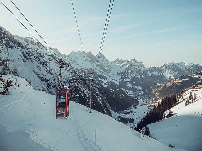
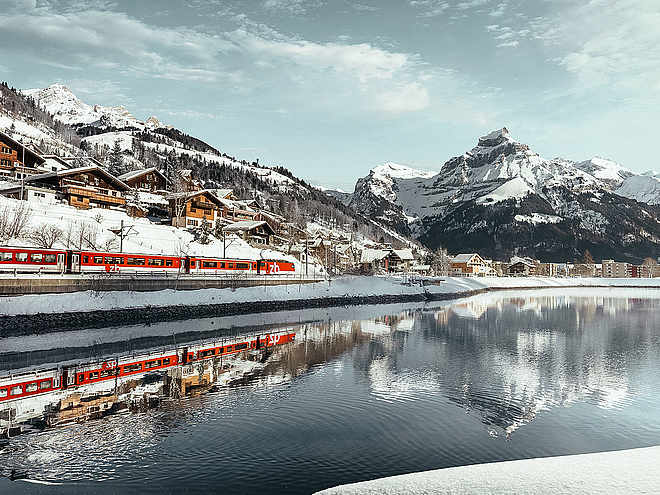
  • Buiräbähnli Bord Bahn
    Buiräbähnli Bord Bahn
    Photo: Engelberg - Titlis Tourismus, Engelberg-Titlis Tourismus

Selected alternatives for you
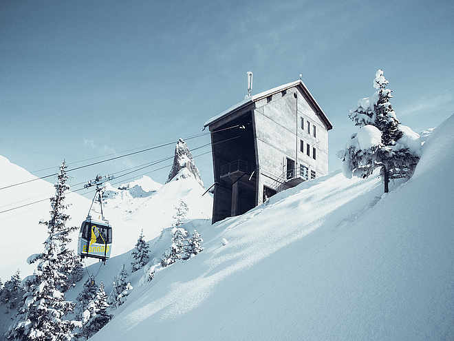
    The complete Buiräbähnli Safari lasts 17.5 hours (pure hiking time) and promises impressive natural moments, authentic encounters, and nostalgic cable car experiences at every stage.

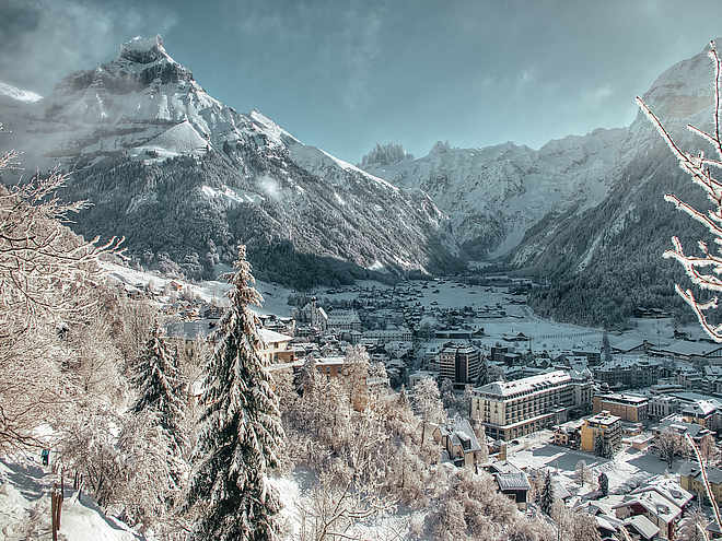
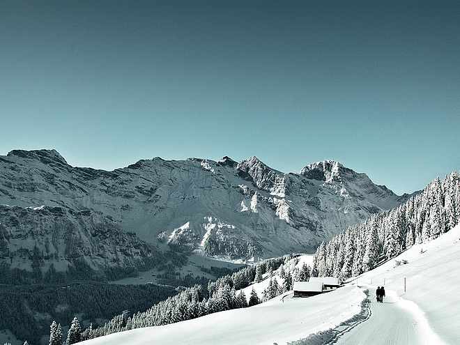
    The third and final stage starts at Alp Oberfeld and leads via the Walenpfad trail to Brunni and back to Engelberg. After just a few steps, you will be immersed in a world of sweeping views, alpine tranquility, and unspoiled mountain scenery.

    moderate
    Distance 12.2 km
    4:00 h
    449 m
    1,277 m
    1,952 m
    1,000 m
    The last stage of the Buiräbähnli Safari begins at Alp Oberfeld and continues along the scenic Walenpfad trail towards the SAC Brunnihütte hut.

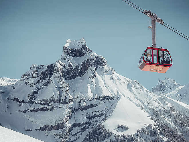
    After a short break at the hut, the route descends to the Ristis mountain station and then continues to Oberbord, where the last Buiräbähnli of the tour takes you down into the valley.

    If you want to make the descent easier, you can take the chairlift and cable car from the SAC Brunnihütte (not included in the Bähnlipass).

    You can return to Engelberg station either on foot or comfortably by taking the free summer bus from the Brunni valley station.


    Author’s recommendation

    At the Härzlisee lake with its tickle trail, a well-deserved refreshment awaits you at Brunni.
    LogoEngelberg-Titlis Tourismus
    Responsible for this content
    Engelberg-Titlis Tourismus  Verified partner 
    Difficulty
    moderate
    Overall difficulty
    moderate

    Derived from the technical difficulty and the stamina requirements.

    Landscape
    Highest point
    1,952 m
    Lowest point
    1,000 m

    Track types

    Show elevation profile

    Rest stops

    Berggasthaus Bannalpsee

    Tips and suggestions

    Coordinates

    SwissGrid
    2'675'040E 1'191'118N
    DD
    46.866957, 8.422853
    DMS
    46°52'01.0"N 8°25'22.3"E
    UTM
    32T 456013 5190541
    w3w 
    ///dumps.expressed.deriving
    Get there by train, car, bike, or on foot!

    Similar routes nearby

    • Bannalp circular trail
    • The Walenpfad
    • Zick Zack Trail (Haldigrat)
    • Zingel route
    • Walenpfad Ristis–Bannalp
     These suggestions were generated by our system
    Difficulty
    moderate
    Overall difficulty
    moderate

    Derived from the technical difficulty and the stamina requirements.

    Distance
    12.2 km
    Duration
    4:00 h
    Ascent
    449 m
    Descent
    1,277 m
    Highest point
    1,952 m
    Lowest point
    1,000 m
    Refreshment stops available Multi-stage route Scenic

    Weather at the starting point

    10-day forecast

    Statistics

    • Content
    • Show images Hide images
    Features
    Maps and trails
    Nothing selected - click and drag in the elevation profile to zoom
    Distance
    Duration
    Ascent
    Descent
    Elevation profile