Hiking trails

Hiking with far-reaching view, breathing in fresh alpine air, giving your circulation new wellbeing, breathing in the scents of flowers, giving your senses new experiences: Over 500km of hiking trails invite to be discovered.

Hiking Trailrecommended route

Rugghubel Hut (2296 m above sea level)

Hiking Trail · Luzern - Vierwaldstättersee
LogoEngelberg-Titlis Tourismus
Responsible for this content
Engelberg-Titlis Tourismus Verified partner 
  • Rugghubel Hut
    Rugghubel Hut
    Photo: Engelberg-Titlis Tourismus

Selected alternatives for you
    Hiking above Engelberg to the Rugghubel Hut
    moderate
    Distance 14.1 km
    5:30 h
    696 m
    1,279 m
    2,296 m
    1,012 m

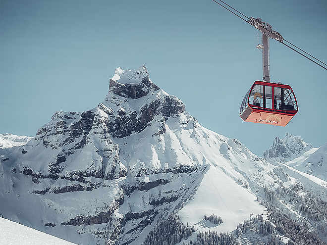
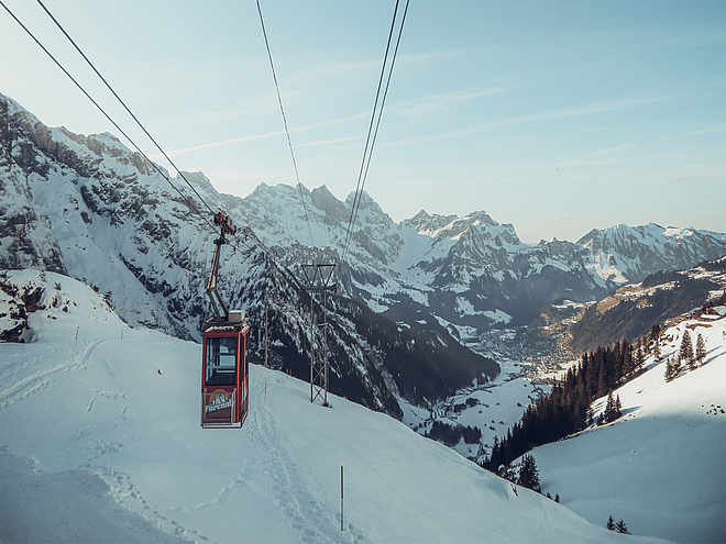
    From Engelberg station, you reach the valley station of the Brunni cable car in 15 minutes, which effortlessly takes you to Ristis (1599 m). Now you hike on a good path with a gentle ascent to the northeast. After the Rigidal signboard, the path leads above cliffs to the Tüfelstein. Shortly after, you cross a stream and then ascend on a scenic path through rocky karst landscape to the day's destination, the beautifully located Rugghubel Hut. (Duration: 2.5 h)

    Here you find everything needed to quench even great thirst and hunger. There are also small rocks for the children’s first climbing attempts! The SAC hut is staffed from June to October and can also offer good accommodation.

    The return is via the same route. You have the option to descend directly to Engelberg from the Rigidal signboard on a steeper path, return from Ristis on a better path to the valley station of the cable car, or of course use the cable car again. From the hut to Ristis 2 h, to Engelberg 3 h.

    Author’s recommendation

    Also suitable for children!
    LogoEngelberg-Titlis Tourismus
    Responsible for this content
    Engelberg-Titlis Tourismus  Verified partner 
    Difficulty
    moderate
    Overall difficulty
    moderate

    Derived from the technical difficulty and the stamina requirements.

    Experience
    Landscape
    Highest point
    2,296 m
    Lowest point
    1,012 m

    Track types

    Asphalt 20.44%Forested/wild trail 7.19%Path 72.14%Road 0.22%
    Asphalt
    2.9 km
    Forested/wild trail
    1 km
    Path
    10.2 km
    Road
    31 m
    Show elevation profile

    Public transport

    Public-transport-friendly

    Engelberg is easily accessible from Lucerne by the Zentralbahn.

    Coordinates

    SwissGrid
    2'673'899E 1'187'246N
    DD
    46.832258, 8.407263
    DMS
    46°49'56.1"N 8°24'26.1"E
    UTM
    32T 454796 5186694
    w3w 
    ///headings.woke.fortunes
    Get there by train, car, bike, or on foot!

    Localization

    Parts of this content were machine translated using German as the source language

    Similar routes nearby

    • Panoramaweg Ristis - Rigidalalp - Brunnihütte
    • Shortened Walenpfad and Benediktusweg
    • Walenstöcke circuit
    • Walenpfad - 2-day hike Central Switzerland
    • Walenpfad Ristis–Bannalp
     These suggestions were generated by our system
    Difficulty
    moderate
    Overall difficulty
    moderate

    Derived from the technical difficulty and the stamina requirements.

    Distance
    14.1 km
    Duration
    5:30 h
    Ascent
    696 m
    Descent
    1,279 m
    Highest point
    2,296 m
    Lowest point
    1,012 m
    Public-transport-friendly Round trip Out and back Refreshment stops available Family-friendly Geological highlights Flora Cableway ascent/descent Dog-friendly

    Weather at the starting point

    10-day forecast

    Statistics

    • Content
    • Show images Hide images
    Features
    Maps and trails
    Nothing selected - click and drag in the elevation profile to zoom
    Distance
    Duration
    Ascent
    Descent
    Elevation profile