Hiking trails

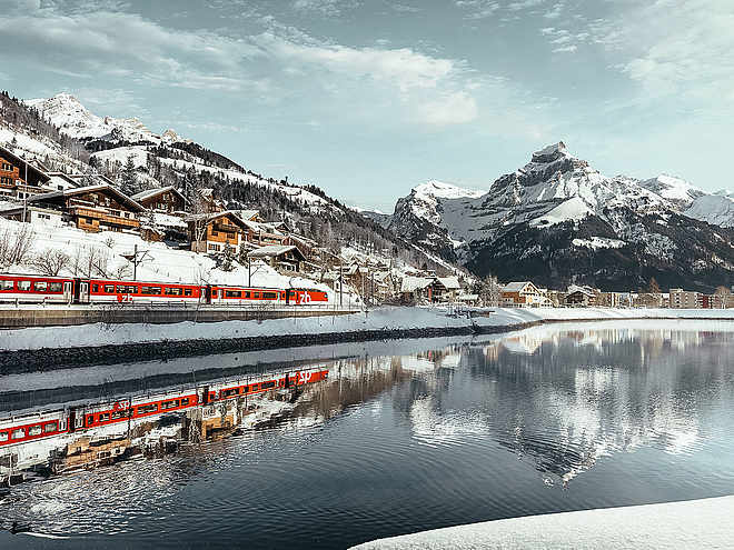
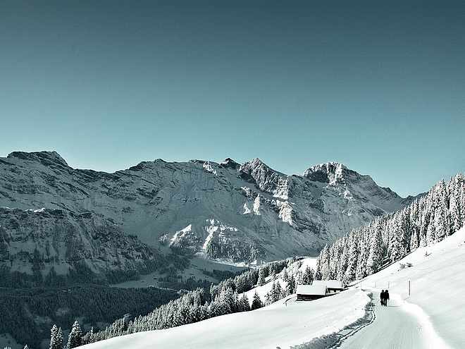
Hiking with far-reaching view, breathing in fresh alpine air, giving your circulation new wellbeing, breathing in the scents of flowers, giving your senses new experiences: Over 500km of hiking trails invite to be discovered.

Hiking Trailrecommended route

Waterfall roundcourse

Hiking Trail · Wolfenschiessen
LogoEngelberg-Titlis Tourismus
Responsible for this content
Engelberg-Titlis Tourismus Verified partner 
  • Wasserfall Stäubi
    Wasserfall Stäubi
    Photo: Engelberg - Titlis Tourismus, Engelberg-Titlis Tourismus

Selected alternatives for you

    The short hike to the Stäubi waterfall via Schlächtismatt.

    easy
    Distance 2.5 km
    0:50 h
    154 m
    154 m
    1,918 m
    1,764 m

    Despite the shortness, the route is not to be underestimated, as the ascent along the Stäubi is rough terrain. Above the waterfall, the Trübseebach stream is crossed in flatter terrain and you return to the starting point on the mountain hiking trail.

    Author’s recommendation

    The smugglers' playground at the starting point is a must for every family!

    Profile picture of Engelberg - Titlis Tourismus
    Author
    Engelberg - Titlis Tourismus 
    LogoEngelberg-Titlis Tourismus
    Responsible for this content
    Engelberg-Titlis Tourismus  Verified partner 
    Difficulty
    easy
    Overall difficulty
    easy

    Derived from the technical difficulty and the stamina requirements.

    Experience
    Landscape
    Highest point
    1,918 m
    Lowest point
    1,764 m
    Best time of year
    Jan
    Feb
    Mar
    Apr
    May
    Jun
    Jul
    Aug
    Sep
    Oct
    Nov
    Dec

    Track types

    Forested/wild trail 60.78%Traces of trail 18.27%Unknown 20.94%
    Forested/wild trail
    1.5 km
    Traces of trail
    461 m
    Unknown
    528 m
    Show elevation profile

    Safety information

    - Solid footwear is recommended

    - Take note of weather conditions

    Coordinates

    SwissGrid
    2'672'865E 1'182'682N
    DD
    46.791323, 8.392981
    DMS
    46°47'28.8"N 8°23'34.7"E
    UTM
    32T 453671 5182153
    w3w 
    ///splits.cautious.kilt
    Get there by train, car, bike, or on foot!

    Book recommendation by the author

    Keine

    Author’s map recommendations

    1191 Engelberg

    Equipment

    - Festes Schuhwerk wird empfohlen

    - Beachten Sie Wetterverhätnisse

    Similar routes nearby

    • The Älplerseil Route
    • Trübsee circular path
    • Murmeli hike
    • Jochpass - Graustock Hike
    • Stand - Trübsee geological footpath
     These suggestions were generated by our system
    Difficulty
    easy
    Overall difficulty
    easy

    Derived from the technical difficulty and the stamina requirements.

    Distance
    2.5 km
    Duration
    0:50 h
    Ascent
    154 m
    Descent
    154 m
    Highest point
    1,918 m
    Lowest point
    1,764 m
    Out and back Round trip Scenic Insider tip

    Weather at the starting point

    10-day forecast

    Statistics

    • Content
    • Show images Hide images
    Features
    Maps and trails
    Nothing selected - click and drag in the elevation profile to zoom
    Distance
    Duration
    Ascent
    Descent
    Elevation profile