Theme hikes
Excitement, adventure and perhaps learning one or two things at the same time? This can be found on the theme trails around Engelberg. Go on a treasure hunt on Brunni or Trübsee or enjoy nature under your feet on the barefoot trail.
Natural learning path "Grotzliweg"

Responsible for this content
Engelberg-Titlis Tourismus Verified partner
Engelberg-Titlis Tourismus Verified partner
Selected alternatives for you
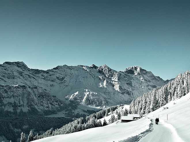
"Grotzli" are not strange, eerie figures, but are called young trees in the Engelberg dialect, in particular small spruces. They shape our alpine landscape.
Distance 3.2 km
1:02 h
156 m
152 m
1,942 m
1,786 m
If you take your steps on the nature trail, you will be amazed at the wonders of nature. The trail revolves around history, rocks, flora and fauna and alpine farming. The pleasant walkable circular path in the midst of the Engelberg High Alps combines active recreation with the opportunity to learn many interesting things. The easy walk along the nature trail and the variety of water, animals and flowers make the trail interesting for children and adults alike.
Author’s recommendation
Kraftort Fürenalp
Lassen Sie sich faszinieren von der Kraft aus der Natur. Spüren Sie die Energie oder fühlen Sie sich einfach nur wohl an diesem Ort? Der Naturlehrpfad "Grotzliweg" ist auch ein Weg, um Energie aufzutanken. Seien Sie neugierig und bleiben Sie einen Moment stehen an einem der 12 Kraftorte.
Author
Engelberg - Titlis Tourismus
Responsible for this content
Engelberg-Titlis Tourismus Verified partner
Engelberg-Titlis Tourismus Verified partner
Highest point
1,942 m
Lowest point
1,786 m
Track types
Show elevation profileTips and suggestions
Public transport
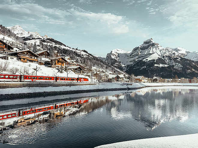
National and international connections (from Zurich airport connections every half hour with approx. 1h travel time) to Lucerne.Afterwards with the Zentralbahn in 43 minutes through varied landscape and gorges up to Engelberg.Directions
By car you drive on the A2 (Basel-Gotthard) to Stans Süd, then on the main road 20 km to Engelberg. Engelberg is 30 minutes from Lucerne, 1 hour and 15 minutes from Basel, Zurich or Bern.Parking
Parking spaces are available in Engelberg for a fee.Coordinates
SwissGrid
2'678'604E 1'183'836N
DD
46.801044, 8.468335
DMS
46°48'03.8"N 8°28'06.0"E
UTM
32T 459430 5183192
w3w
///siesta.belt.incursion
Get there by train, car, bike, or on foot!
Distance
3.2 km
Duration
1:02 h
Ascent
156 m
Descent
152 m
Highest point
1,942 m
Lowest point
1,786 m
Weather at the starting point
Statistics
Maps and trails
Nothing selected - click and drag in the elevation profile to zoom
Distance
Duration
Ascent
Descent


