Trailrunning
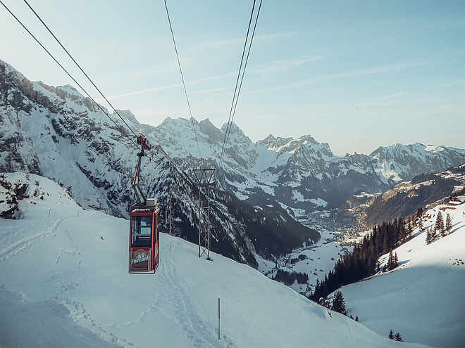
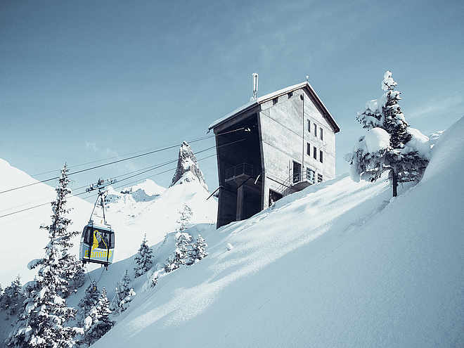
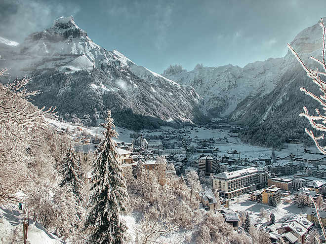
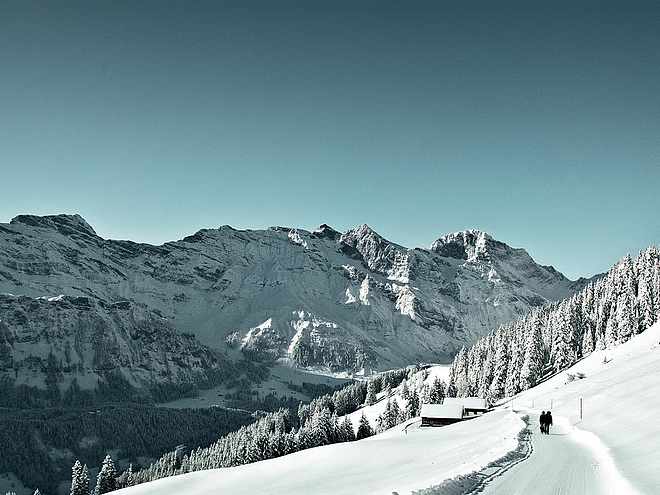
Let yourself be inspired by the varied trails in Engelberg and discover the countless routes that lead you to the most beautiful viewpoints!
Walenstock Loop

Responsible for this content
Engelberg-Titlis Tourismus Verified partner
Engelberg-Titlis Tourismus Verified partner
Selected alternatives for you
moderate
Distance 23.1 km
5:00 h
1,493 m
1,495 m
2,558 m
1,596 m
On the official mountain running route, it goes up to the Rugghubel hut, further to Rotgrätli. On rocky ground, across alpine meadows, you cross the Bannalper-Schonegg and have a beautiful view of Bannalp Lake. Past the southern shore, up to Walegg from where you can enjoy a breathtaking view over the lower Engelberg valley. Via Walenalp, you return to the Engelberg basin.
Author’s recommendation
The restaurant Tuifelsstei, Bannalp Lake and Walegg
Author
Engelberg - Titlis Tourismus
Responsible for this content
Engelberg-Titlis Tourismus Verified partner
Engelberg-Titlis Tourismus Verified partner
Difficulty
moderate
Overall difficulty
moderate
Derived from the technical difficulty and the stamina requirements.
Experience
Landscape
Highest point
2,558 m
Lowest point
1,596 m
Best time of year
Jan
Feb
Mar
Apr
May
Jun
Jul
Aug
Sep
Oct
Nov
Dec
Track types
Show elevation profileRest stops
Berglodge Restaurant RistisBerggasthaus Urnestafel
Tips and suggestions
Restaurant Tuifelstei: https://www.hotelcrystal.ch/restaurant/
Roadbook
Rugghubel, Rotgrätli, Bannalper-Schonegg, Urnerstafel, Walegg, Risits
Rest stop
Nearby
Top Partner
Waypoint
Start point
End point
Low point
High point
Forecast
Today {low} to {high} and {precipitation} of {precipitation_type}
show {x} more
Photo
Video
Berglodge Restaurant RistisGlobis Alpine Playground Brunni
Forest fireplace Ristis
Globi Alpenspielplatz
Fireplaces at the Globis Alpine playground
Globis Alpenspielplatz
Sommerrodelbahn Brunni
Fireplace Ruchweg
Brunnipfad
Alp hut Rigidal
Rigidalstafel
Planggenstafel
Rugghubelhütte SAC
Berggasthaus Urnestafel
Bannalp Dwarves Trail barbecue spot, Wolfenschiessen
Bannalp
Walegg
Fireplace Rickwald
Alpkäserei Hüttismatt
Coordinates
SwissGrid
2'673'904E 1'187'264N
DD
46.832424, 8.407328
DMS
46°49'56.7"N 8°24'26.4"E
UTM
32T 454801 5186712
w3w
///table.digests.whom
Get there by train, car, bike, or on foot!
Localization
Parts of this content were machine translated using German as the source language
Difficulty
moderate
Overall difficulty
moderate
Derived from the technical difficulty and the stamina requirements.
Distance
23.1 km
Duration
5:00 h
Ascent
1,493 m
Descent
1,495 m
Highest point
2,558 m
Lowest point
1,596 m
Weather at the starting point
Statistics
Maps and trails
Nothing selected - click and drag in the elevation profile to zoom
Distance
Duration
Ascent
Descent


