Winter hiking trails

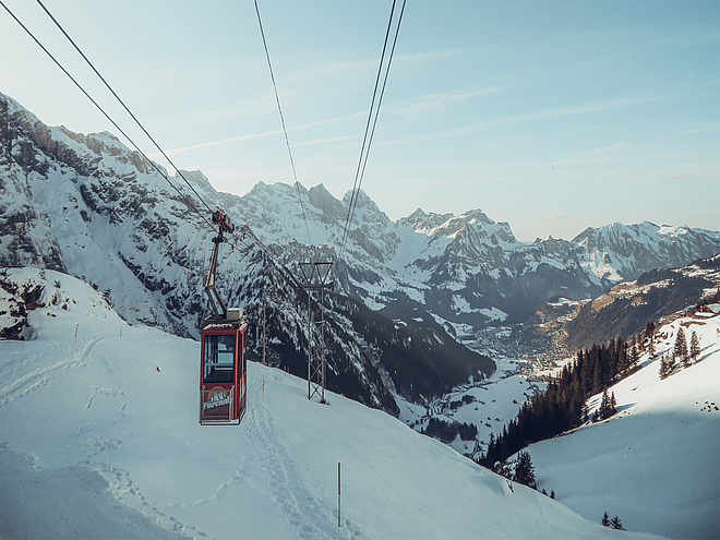
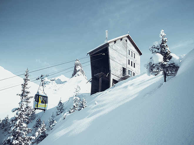
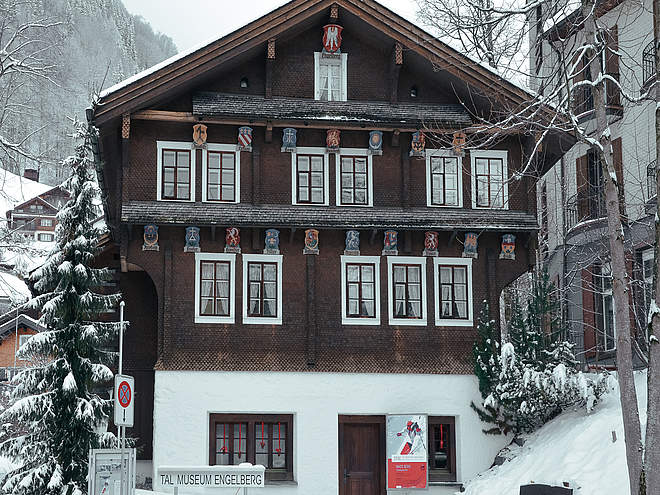
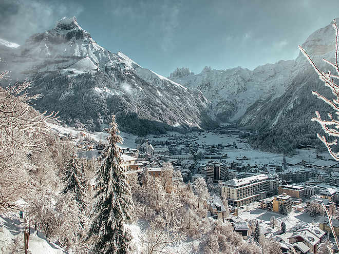
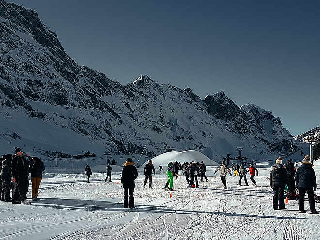
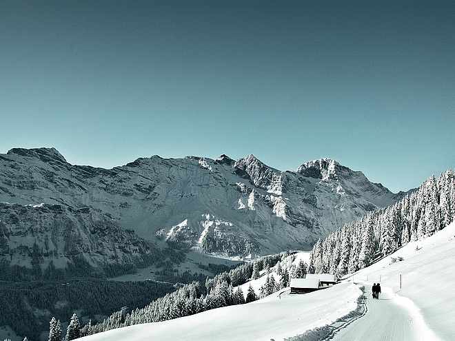
The Engelberg region, with more than 70 km of winter hiking trails, is a paradise for winter hikers. The well-prepared trails lead through snow-covered forests and landscapes. Enjoy the breathtaking panoramic views of the Alps, the fresh mountain air and the sweet sound of snow crunching under your feet.

Winter Hikingrecommended route

Panorama Trail Rigidalalp

Winter Hiking · Engelberg
LogoEngelberg-Titlis Tourismus
Responsible for this content
Engelberg-Titlis Tourismus Verified partner 
  • Photo: Engelberg - Titlis Tourismus, Engelberg-Titlis Tourismus

Selected alternatives for you
    Winter hiking on the sunny side of Engelberg with perfect views of the Titlis and the local mountain Hahnen – this is not an empty promise on the Panorama Trail Ristis – Rigidalalp – Brunnihütte.
    moderate
    Distance 3.1 km
    1:03 h
    265 m
    5 m
    1,860 m
    1,597 m
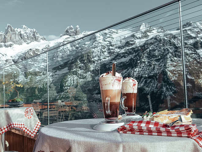
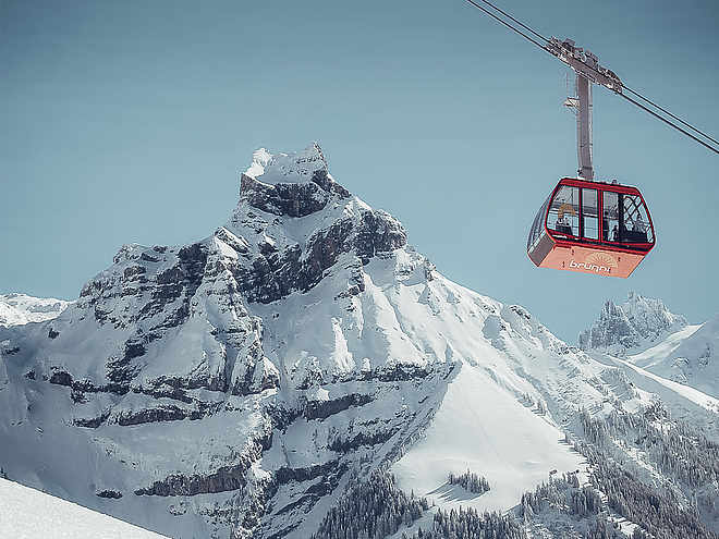
    From Engelberg station, the free local bus takes you to the Brunni valley station, from where the Brunni cable car goes up to Ristis. Here you reach the starting point of the Panorama Trail. Always slightly uphill and with breathtaking views, you proceed on the well-groomed winter hiking trail towards Rigidalalp. In good weather, the photo motif "local mountain Hahnen" shows itself at its best and stands out with its snow-covered planks against the bright blue sky. After a half-hour walk, the mountain hut Rigidalalp is reached. Cozy rustic atmosphere and Engelberg specialties are offered to guests in good weather. After refreshing yourself and enjoying the view, the ascent to Brunnihütte is taken underfoot. Crossing the ski slope, the destination, the SAC hut, is already in sight. The large sun terrace offers space for sun lovers and tired hikers. What's better than ending your hiking day with a delicious hut coffee and a view of the Titlis? The way back to the valley then goes comfortably by chairlift and from Ristis by cable car.

    Author’s recommendation

    Those who prefer to go downhill can take the chairlift from Ristis to Brunnihütte and start the Panorama Trail there.
    Profile picture of Engelberg - Titlis Tourismus
    Author
    Engelberg - Titlis Tourismus 
    LogoEngelberg-Titlis Tourismus
    Responsible for this content
    Engelberg-Titlis Tourismus  Verified partner 
    Difficulty
    moderate
    Overall difficulty
    moderate

    Derived from the technical difficulty and the stamina requirements.

    Experience
    Landscape
    Highest point
    1,860 m
    Lowest point
    1,597 m
    Best time of year
    Jan
    Feb
    Mar
    Apr
    May
    Jun
    Jul
    Aug
    Sep
    Oct
    Nov
    Dec

    Track types

    Show elevation profile

    Safety information

    When planning, please check the winter sports report which indicates whether the winter hiking trails are groomed and open.

    Tips and suggestions

    Cable Car Prices

    Overview Map

    Cable Car Timetable

    Snow Sports Report

    Gastronomy:

    Mountain Lodge Ristis

    Alplerbeizli Rigidal

    Brunnihütte SAC

    Public transport

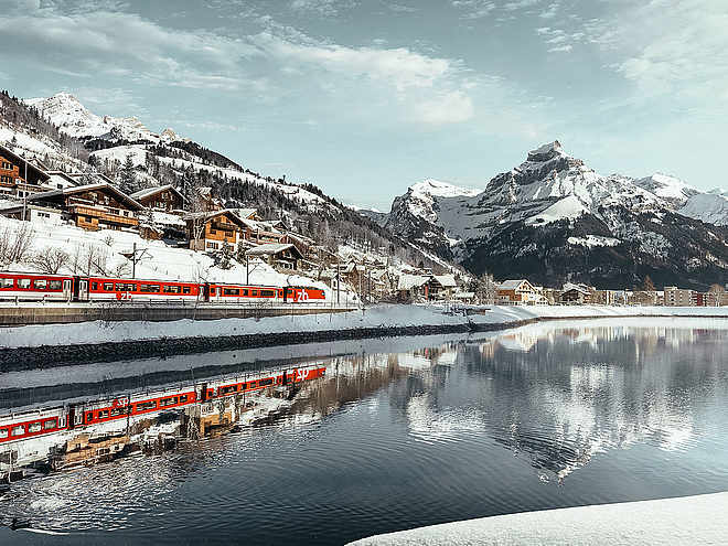
    National and international connections (from Zurich Airport with half-hourly connections and about 1 hour travel time) to Lucerne. Afterwards, take the Zentralbahn in 43 minutes through varied landscapes and gorges up to Engelberg.

    From Engelberg station, the free sports bus takes you directly to the valley station of the Brunni cable cars.

    Directions

    By car, drive on the A2 (Basel-Gotthard) to Stans Süd, then follow the main road for 20 km to Engelberg. Engelberg is 30 minutes from Lucerne, and 1 hour 15 minutes from Basel, Zurich, or Bern.

    Parking

    Parking is available in Engelberg for a fee.

    Coordinates

    SwissGrid
    2'673'899E 1'187'239N
    DD
    46.832200, 8.407261
    DMS
    46°49'55.9"N 8°24'26.1"E
    UTM
    32T 454795 5186688
    w3w 
    ///rumble.fastening.weeknight
    Get there by train, car, bike, or on foot!

    Equipment

    High and sturdy hiking boots or winter boots, warm clothing, sun protection, and hiking poles are advantageous.

    Localization

    Parts of this content were machine translated using German as the source language

    Similar routes nearby

    • Schneetandliweg Brunni
    • Via Klostermatte to Horbis
    • Engelberg-Bergli-Ristis
    • Engelberg - Untertrübsee
    • Professorenweg inland
     These suggestions were generated by our system
    Difficulty
    moderate
    Overall difficulty
    moderate

    Derived from the technical difficulty and the stamina requirements.

    Distance
    3.1 km
    Duration
    1:03 h
    Ascent
    265 m
    Descent
    5 m
    Highest point
    1,860 m
    Lowest point
    1,597 m
    Refreshment stops available Groomed snow
    __data.title__
    Earlier
    __data.title__
    Later

    Avalanche conditions

    ·

    Weather at the starting point

    10-day forecast

    Statistics

    • Content
    • Show images Hide images
    Features
    Maps and trails
    Nothing selected - click and drag in the elevation profile to zoom
    Distance
    Duration
    Ascent
    Descent
    Elevation profile