Winter hiking trails
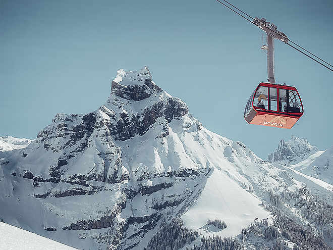
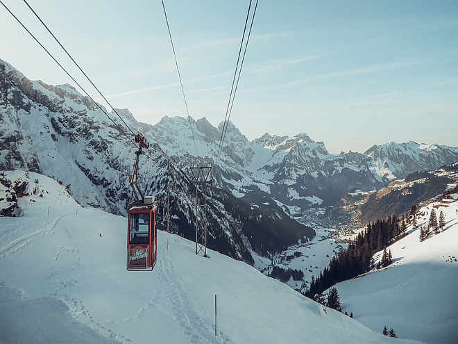
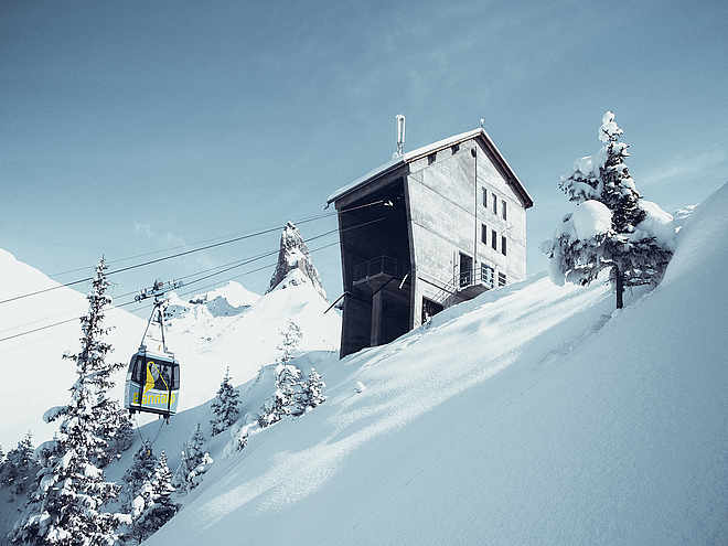
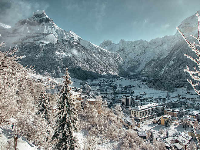
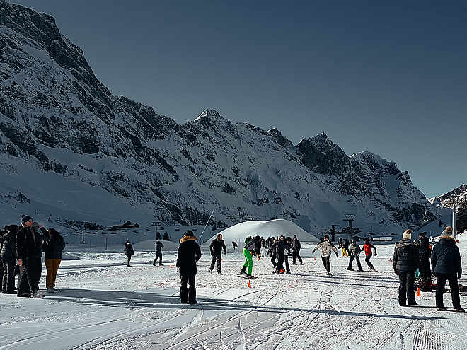
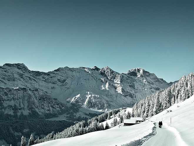
The Engelberg region, with more than 70 km of winter hiking trails, is a paradise for winter hikers. The well-prepared trails lead through snow-covered forests and landscapes. Enjoy the breathtaking panoramic views of the Alps, the fresh mountain air and the sweet sound of snow crunching under your feet.
Winter hiking route Gerschnialp Station - Untertrübsee

Engelberg-Titlis Tourismus Verified partner
Author’s recommendation
Engelberg-Titlis Tourismus Verified partner
Derived from the technical difficulty and the stamina requirements.
Track types
Show elevation profileSafety information
When planning, please note the winter sports report on engelberg.ch, which indicates whether the winter hiking trails are groomed and open.
Tips and suggestions
Public transport
National and international connections (from Zurich Airport connections every half hour with approx. 1 hour travel time) to Lucerne.
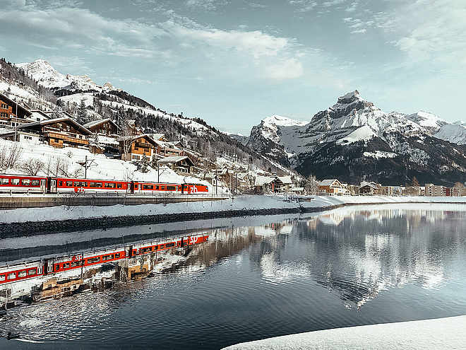
Then by the Zentralbahn in 43 minutes through varied landscapes and gorges up to Engelberg.
Directions
By car, take the A2 (Basel-Gotthard) to Stans South, then on the main road 20 km to Engelberg. Engelberg is 30 minutes from Lucerne, 1 hour and 15 minutes from Basel, Zurich or Bern.Parking
Parking is available in Engelberg for a fee.Coordinates
Equipment
The winter hiking trails are prepared, but good winter shoes are still recommended.Localization
Derived from the technical difficulty and the stamina requirements.


