Hiking trails
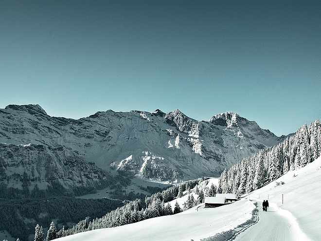
Hiking with far-reaching view, breathing in fresh alpine air, giving your circulation new wellbeing, breathing in the scents of flowers, giving your senses new experiences: Over 500km of hiking trails invite to be discovered.
Ridge hike Stanserhorn-Engelberg

Engelberg-Titlis Tourismus Verified partner
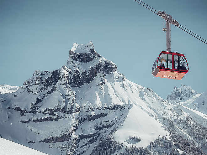
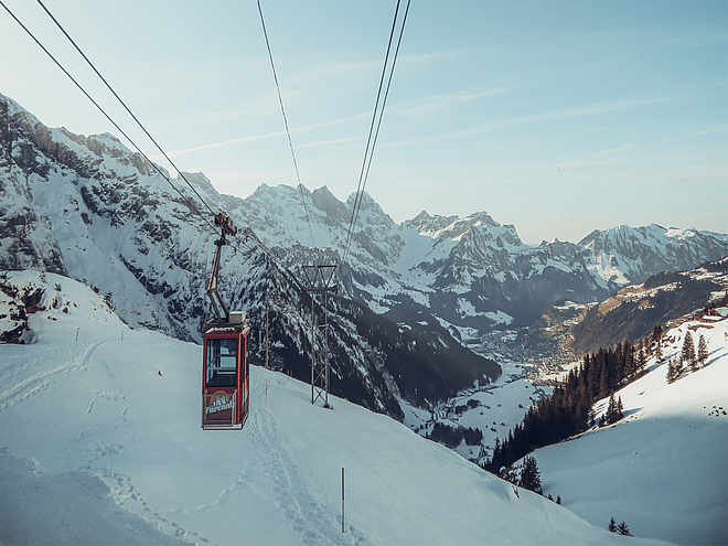
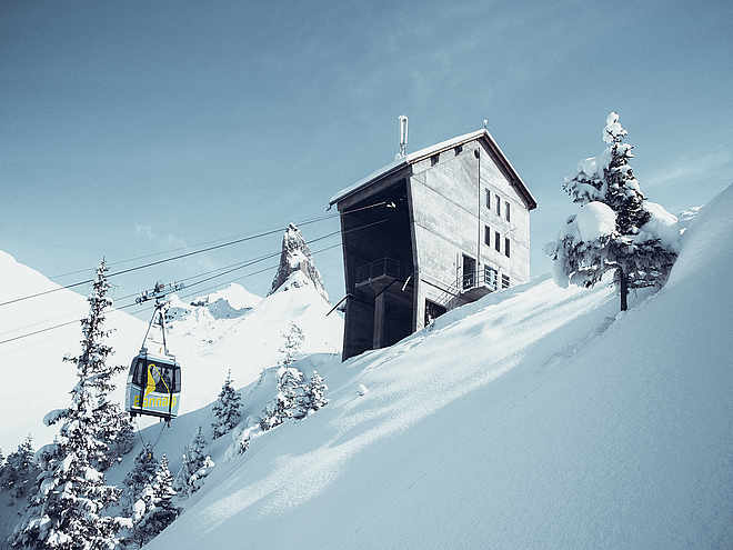
The start of this hike is already spectacular: From Stans, the world’s unique double-decker CabriO cable car takes you up to Stanserhorn – with wind in your hair and panoramic views of the Alpine paradise. At almost 1,900 m above sea level, you are rewarded with a breathtaking 360-degree view – the perfect prelude to this scenic ridge hike.
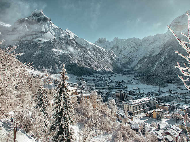
The descent first leads to the Ächerlipass and after a relaxed section the ascent to the Arvigrat begins. The path winds through the mystical Arvi forest, past roots and over steeper passages, until at over 2,000 m above sea level you are rewarded with a magnificent panorama: Engelberg valley, Sarner valley and the surrounding Alps are within reach!
The route continues over the scenic Gräfimattgrat towards Schingrat and Wagenleis. Here awaits the key section of the tour: a spectacular rock notch with rope protection – only for those sure-footed and without fear of heights!
The route then continues via the Schluchigrat and the Lachengrätli to Storeggpass. At the idyllic Lutersee, a rest is worthwhile – the perfect place to gather new energy for the last ascent. This leads to the highest point of the route, the „Bocki“ at 2,155 m above sea level.
The descent to Engelberg requires concentration again: steep but rewarding. Along the way, the alpine cheese dairy and the Untertrübsee restaurant invite you for a hearty break – before the last section leads gently down into the valley.
Author’s recommendation
This route is long, spectacular – and ideal for a microadventure! If you don’t want to do it all in one day, you can wonderfully plan it as a two-day route with a tent overnight stay at Alp Laucheren. A true nature experience including sunrise over the ridges.
More info: engelberg.ch/gratwanderung
Route variants for those who prefer it a bit shorter:
Shortcut from Lutersee:
If you prefer it more relaxed, turn off at Lutersee towards Alp Zingel and hike back to Engelberg.
7.2 km | approx. 2.5 h | 72 m ascent | 812 m descent
On the Buiräbähnli:
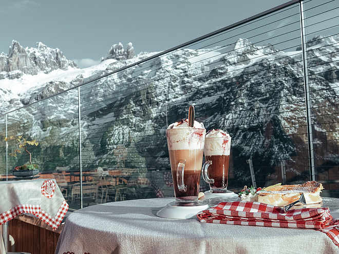
In the Engelberg valley you will find numerous charming small cable cars – so-called Buiräbähnli. They are perfect if you only want to do part of the hike.
- From Storeggpass to Eggen: 2 km | 40 min | 326 m descent
- From there you take the Buiräbähnli via Rugisbalm down to Mettlen (CHF 9.– one way).
- Then: 1.9 km on foot to Grafenort train station (30 min, flat)
- And then by train back to Engelberg (15 min).
Engelberg-Titlis Tourismus Verified partner
Derived from the technical difficulty and the stamina requirements.
Track types
Rest stops
Restaurant UntertrübseeSafety information
Mountain hiking trail information:
-
Mountain hiking trails are mostly steep, narrow and partly exposed. Sure-footedness, a head for heights, good physical condition and mountain experience are required. Sturdy shoes with a grippy sole are necessary.
- At Wagenleis, also called "Charren", is the key section of the hike. This requires good sure-footedness and a head for heights. For safety, ropes are provided to hold on to.
- Special care is needed in rain as the path is partly steep and slippery.
Tips and suggestions
The ridge hike is part of the Tell Trail (Stage 5). The Tell Trail is a long-distance hiking trail and passes through the picturesque Lucerne-Lake Lucerne region – from Altdorf to the Brienzer Rothorn. In eight stages, it goes past sparkling mountain lakes, through historic villages and world-famous towns, as well as to the "Big 5" of the Central Swiss mountains: Rigi, Pilatus, Stanserhorn, Titlis and Brienzer Rothorn. The diverse flora and fauna and the spectacular mountain panorama are constant hiking companions. More information: www.luzern.com/telltrail
Public transport
Public-transport-friendly
Stans can be reached from Lucerne by train in about 20 minutes. From Stans station, it is about a 5-minute walk to the Stanserhorn cable car. From there, first take the vintage Stanserhorn cable car and then the CabriO cable car up to Stanserhorn, the start of the hike.Directions
Stans can be reached from Lucerne in 20 minutes via the A2 motorway.Parking
Coordinates
Equipment
- good footwear
- enough provisions
You can find the appropriate equipment in Engelberg's sports shops.
Localization
Derived from the technical difficulty and the stamina requirements.


